
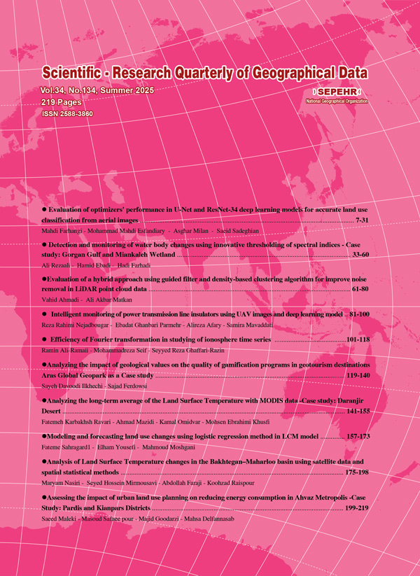
Scientific- Research Quarterly of Geographical Data (SEPEHR)

Scientific- Research Quarterly of Geographical Data (SEPEHR)

Quarterly of Geographical Data is an open access double-blind peer reviewed publication which is published by National Geographical Organization.  This journal is a quarterly publication, which publishes original research papers on journal scope.  This journal follows Committee on Publication Ethics (COPE) and complies with the highest ethical standards in accordance with ethical laws. All submitted manuscripts are checked for similarity through Hamyab software to ensure their authenticity and then rigorously peer-reviewed by expert reviewers. (Read More about the journal...).


Dear researchers, please pay attention to the following points before deciding to submit a paper:
  • Widespread enthusiasm of professors and distinguished scholars to contribute to the journal through submitting valuable papers of scholarly research is commendable.
  • The Geographic Data (SEPEHR)Journal is published quarterly, and is intended to provide on each issue with a balanced combination of papers on fields of extraction, production, processing and analysis of geographical data, along with providing geographical information.
  • number of submissions in different fields varies significantly according to the number of experts and researchers active in the field.
  • Submitted papers on urban, rural and political geography, climatology and geomorphology are currently in very great numbers, and consequently, their process of examination and publication have become lengthy.
  • Papers on aerial photography, geodesy and gravimetry are relatively less frequent, and will therefore have shorter process of examination and publication.
  • So, researchers who have time limitations concerning the confirmation or publication of their valuable papers are recommended to select the Journal of Geographical Data(SEPEHR), or other publications, with above conditions in mind.

Journal Features
  • Publisher: National Geographical Organization
  • Review time: 12 weeks
  • Frequency: Quarterly
  • Open access: Yes
  • Peer Review Policy:  Double-blind peer-review
  • Indexed and Abstracted: yes
  • Abstracts available in: Persian and English 
  • Article Processing Charges: No
  • Contact email: info@sepehr.org


Current Issue: Volume 35, Issue 138, Summer 2026, Pages 1-149 

Keywords Cloud

  • GIS
  • Remote Sensing
  • Iran
  • Tourism
  • Sustainable development
  • Earthquake
  • Geographic Information System
  • Passive defense
  • Geomorphology
  • crisis management
  • Land use
  • City
  • Locating
  • Climate change
  • Spatial analysis
  • Climate
  • MODIS
  • Satellite images
  • Vulnerability
  • Urban Planning
  • Ecotourism
  • Drought
  • Zoning
  • NDVI
  • development
  • Security
  • geographic information system (GIS)
  • Planning
  • Artificial neural network
  • genetic algorithm
  • Location
  • AHP
  • Precipitation
  • Support Vector Machine
  • Google Earth Engine
  • Land surface temperature
  • GPS
  • Isfahan
  • Persian Gulf
  • Air pollution
  • Fuzzy logic
  • Physical development
  • erosion
  • Geotourism
  • globalization
  • Tehran
  • Land use changes
  • Ionosphere
  • Urban Management
  • environment
  • Deep Learning
  • ecosystem
  • Crisis
  • Change detection
  • Classification
  • Kermanshah
  • flood
  • Satellite Imagery
  • TEC
  • LiDAR
  • Agriculture
  • Dust
  • Optimization
  • Artificial neural networks
  • Modeling
  • Detection
  • Geospatial Information System
  • Landsat
  • Tabriz
  • Trend
  • Shiraz
  • Time Series
  • landslide
  • Normalized difference vegetation index (NDVI)
  • Mann-Kendall test
  • Downscaling
  • Fars province
  • Flooding
  • Rural Development
  • Digital elevation model
  • Land surface temperature (LST)
  • Temperature
  • Geographic Information Systems (GIS)
  • population
  • Correlation
  • UAV
  • Caspian Sea
  • TOPSIS
  • Kriging
  • Analytic hierarchy process (AHP)
  • Village
  • Khuzestan Province
  • geopolitics
  • 3D modeling
  • SWOT
  • vegetation
  • Photogrammetry
  • technology
  • DEM
  • Border
  • Ahvaz
  • Subsidence
  • Neural network
  • PCA
  • Simulation
  • geography
  • Spatial planning
  • AHP Model
  • Fuzzy
  • Green space
  • sedimentation
  • Kurdistan Province
  • Strategy
  • Sentinel 2
  • Geoid
  • Regional Development
  • Tectonic
  • RS
  • Cellular automata
  • Landsat satellite
  • Mashhad
  • Urban growth
  • Groundwater
  • Markov Chain
  • Geospatial Information System (GIS)
  • Mazandaran
  • prediction
  • Hot spot analysis
  • Urban green space
  • Gully erosion
  • Anomaly
  • Geographical Information System
  • Satellite data
  • SRTM
  • Point Cloud
  • Forest
  • Land cover
  • MODIS Sensor
  • Clustering
  • urban land use
  • RADAR
  • transportation
  • SAR Interferometry
  • rural tourism
  • Spatial data
  • Sand
  • hydrology
  • Vegetation index
  • sensor
  • evolution
  • Analytic Network Process (ANP)
  • ecology
  • urban development
  • Ranking
  • ASTER
  • Kermanshah province
  • Monitoring
  • urban poverty
  • Hydropolitics
  • data
  • methodology
  • natural environment
  • Random Forest
  • Worn-out texture
  • Hamedan Province
  • Mahabad
  • Decision tree
  • Synoptic analysis
  • Gilan
  • Regression
  • Digital elevation model (DEM)
  • Heavy precipitation
  • Land use planning
  • Ilam
  • Maximum Likelihood
  • frost
  • Kashan City
  • Sentinel-2
  • Aerial imagery
  • urbanization
  • Machine learning algorithms
  • Routing
  • Lake Urmia
  • localization
  • map
  • Landsat 8
  • Geographic Information Systems
  • Geographical Information System (GIS)
  • Data Integration
  • Image fusion
  • Return period
  • Thermal Island
  • Topography
  • orthophoto
  • Sustainability
  • traffic
  • Desertification
  • Hamedan
  • desert
  • Kerman