Associate Professor of Urban planning, Malek-Ashtar University of Technolog
Abstract
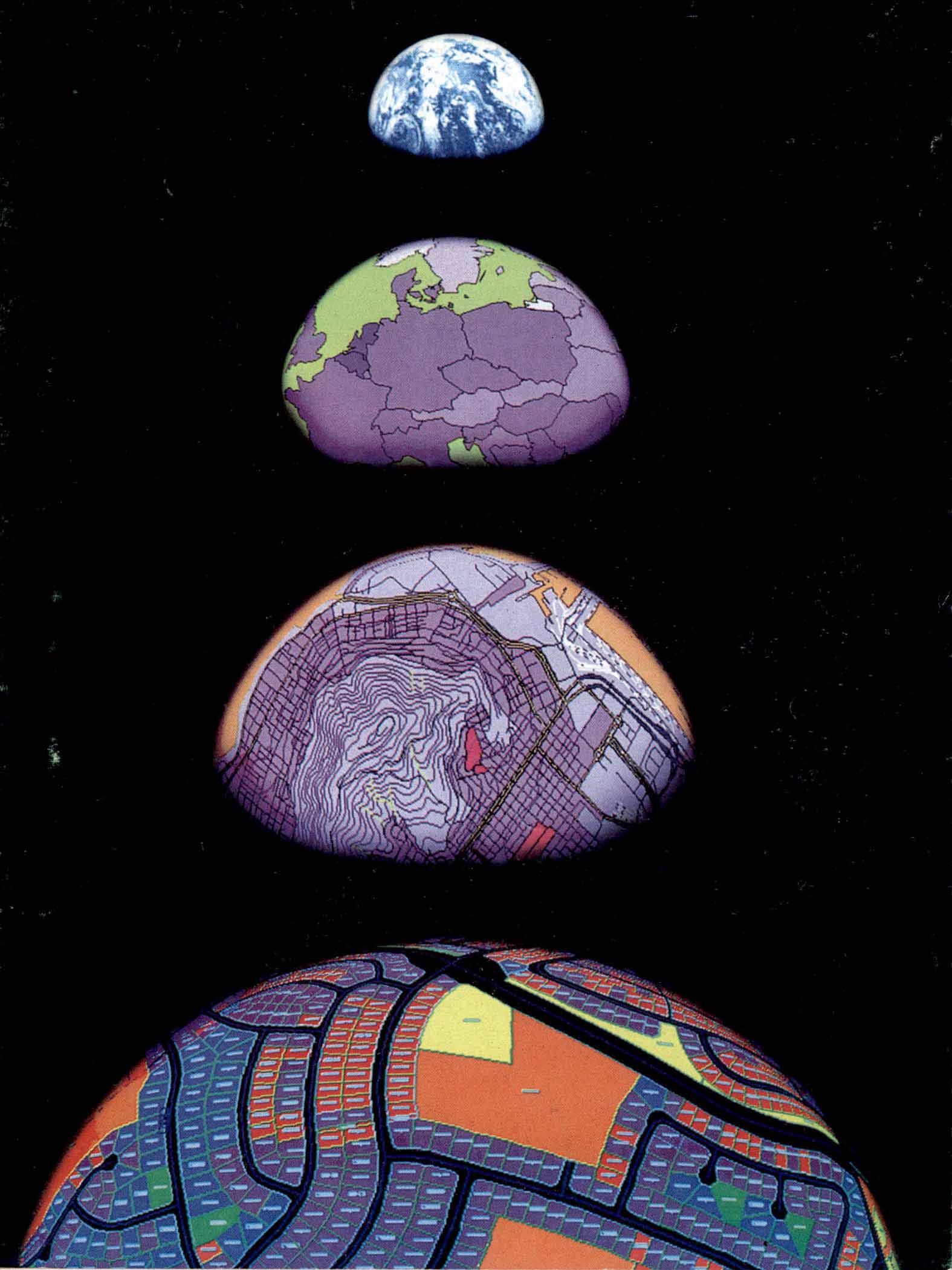
Cartographic modeling is the general and customary method of geographical data analysis. What is used in cartographic modeling leads finally to certain algebraic relationships in which each one of effective factors in thematic combination of maps acts as a variable, and it is possible to change these variables using functions and cartographic combination in a flexible manner. In this paper, the rules, ability and major techniques of this methodology are briefly examined.