Document Type : Research Paper
Author
Member of Faculty, Police University
Abstract
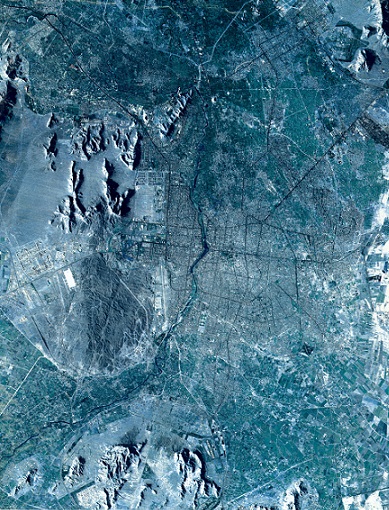
In this paper, we investigate the role of geomorphology in locating and implementing Mullah Sadra dam and power plant in the Tang-e-Baragh area on the Kor River. Determination of the final location of the implementation of this design and construction of the main body of the dam has been directly influenced by geomorphological study of the area. The upstream strait has been selected as the location of the project due to appropriate morphology of its floor and side banks compared to the main strait, which has an inappropriate morphology with faults, seams and gaps.
Keywords

