Document Type : Research Paper
Author
Master of Natural Geography
Abstract
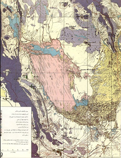
The study area is located in central Iran and in the southern margin of a large depression along the northwest-southeast direction. This region is a desert part of which is formed by salt pan (Kavir).
This region, like most of Iran's central areas, has been swept by sand for many years. The issue of sand is most threatening toward villages in the north and northeast of Kashan, namely Aran and Bidgol, and four villages of Abu Zaidabad, including Mohammad Abad, Gaz, Fakhra, Qasim Abad, Yazd Delan and Hossein Abad. It covers houses, roads, water wells and fields, and increases
aridity in the area. Kashan region is a small part of a natural, morphologic and geologic unit,
divided into two distinct parts:
A) Raised areas known as the southern part of Kashan mountain range, or Karkass mountain range,
(B) Depression of Qom-Kashan-Ardakan Qom-Kashan-Ardakan depression is in fact a wide plain valley that is limited to volcanic rocky mountains, and the faults lying all along the foot of this mountain range have caused it to rise. This depression, due to thick and folded deposits of Neogene red layers which are partly degraded, is filled in the sea section of Qom formations which is of the Oligo-Miocene age, and is covered by Bahada deposits, sand, large rubbles, playa sediments and finally sandy hills.

