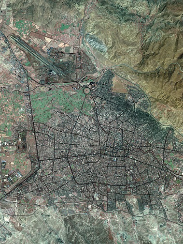
Land re-zoning or integrated development can be a tool for the development of new lands or the organization of existing urban areas. All landowners will share their lands for street and other public spaces, implement the necessary infrastructures wholly or separately, adapt the existing boundaries to the new design, and new construction sites are located according to regional conditions or the value of land-related data. This article describes its methods and applications in different countries, and discusses the possibilities, advantages and problems of the above mentioned method for future methodological development.
Ghorbani,R . (2007). Development of Land Re-Zoning, a Tool for Urban Development. Scientific- Research Quarterly of Geographical Data (SEPEHR), 16(62), 38-43.
MLA
Ghorbani,R . "Development of Land Re-Zoning, a Tool for Urban Development", Scientific- Research Quarterly of Geographical Data (SEPEHR), 16, 62, 2007, 38-43.
HARVARD
Ghorbani R. (2007). 'Development of Land Re-Zoning, a Tool for Urban Development', Scientific- Research Quarterly of Geographical Data (SEPEHR), 16(62), pp. 38-43.
CHICAGO
R Ghorbani, "Development of Land Re-Zoning, a Tool for Urban Development," Scientific- Research Quarterly of Geographical Data (SEPEHR), 16 62 (2007): 38-43,
VANCOUVER
Ghorbani R. Development of Land Re-Zoning, a Tool for Urban Development. SEPEHR. 2007;16(62):38-43 (In Persian).