Water resources forms part of hydrology that is linked to hydrological characteristics that are clearly variable in time and space. The information contained in the archive basically provides cheaper information sources and this issue should be considered before new measures are initiated. For small-scale studies, measurements with ground-based equipment provide a very good solution for engineering issues. Ground-based devices are able to acquire highly precise data over a range of time frequencies and are able to operate under any atmospheric conditions. Their major fault is that they perform the measurement only for one point that represents the whole. In order to compensate for this defect, the number of ground-based measurements for the point, which is determined by the time needed to install the equipment, manpower for installation, process and analysis of the data, and most importantly the cost of purchase and operation, can be increased.
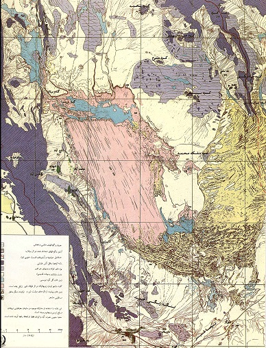
Remote sensing methods are able to measure surface level variability, which can never be measured from the ground surface, and include the alignment of ground-based measurements precision. Ground-based measurement control, such as a spectral reflector, should often accompany remote sensing data acquisition. Refer to Figure 1.
Integrating a limited number of ground-based measurements can prevent great waste of the staff’s time in the desert. In this part, remote sensing performance is discussed in terms of behavioral evaluation of the hydrological changes that are of importance for civil engineers.
Owsati (Translator),A . (1996). Remote Sensing and Water Resources Engineering. Scientific- Research Quarterly of Geographical Data (SEPEHR), 5(17), 42-61.
MLA
Owsati (Translator),A . "Remote Sensing and Water Resources Engineering", Scientific- Research Quarterly of Geographical Data (SEPEHR), 5, 17, 1996, 42-61.
HARVARD
Owsati (Translator) A. (1996). 'Remote Sensing and Water Resources Engineering', Scientific- Research Quarterly of Geographical Data (SEPEHR), 5(17), pp. 42-61.
CHICAGO
A Owsati (Translator), "Remote Sensing and Water Resources Engineering," Scientific- Research Quarterly of Geographical Data (SEPEHR), 5 17 (1996): 42-61,
VANCOUVER
Owsati (Translator) A. Remote Sensing and Water Resources Engineering. SEPEHR. 1996;5(17):42-61 (In Persian).