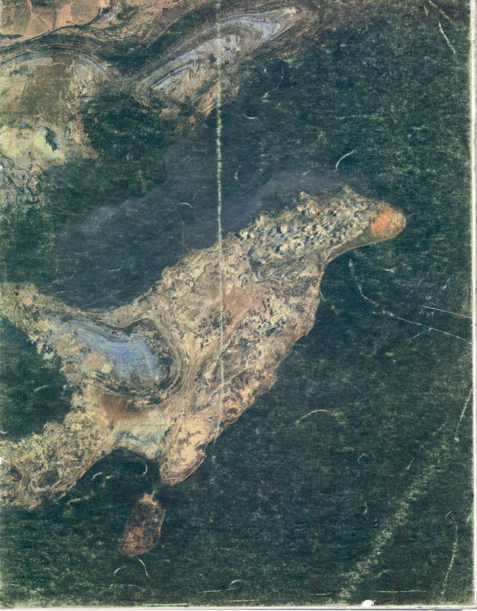
Landsat satellites have been providing information on land resources since 1972. Many users, in the public and private sectors, use these satellites’ information to solve their various problems concerning natural resource management. Agricultural, forestry and geological applications are only part of Landsat's fields of application.
. (1990). Satellite Images and Their Role in the Analysis of Various Phenomena. Scientific- Research Quarterly of Geographical Data (SEPEHR), 1(1), 20-25.
MLA
. "Satellite Images and Their Role in the Analysis of Various Phenomena", Scientific- Research Quarterly of Geographical Data (SEPEHR), 1, 1, 1990, 20-25.
HARVARD
. (1990). 'Satellite Images and Their Role in the Analysis of Various Phenomena', Scientific- Research Quarterly of Geographical Data (SEPEHR), 1(1), pp. 20-25.
CHICAGO
, "Satellite Images and Their Role in the Analysis of Various Phenomena," Scientific- Research Quarterly of Geographical Data (SEPEHR), 1 1 (1990): 20-25,
VANCOUVER
. Satellite Images and Their Role in the Analysis of Various Phenomena. SEPEHR. 1990;1(1):20-25 (In Persian).